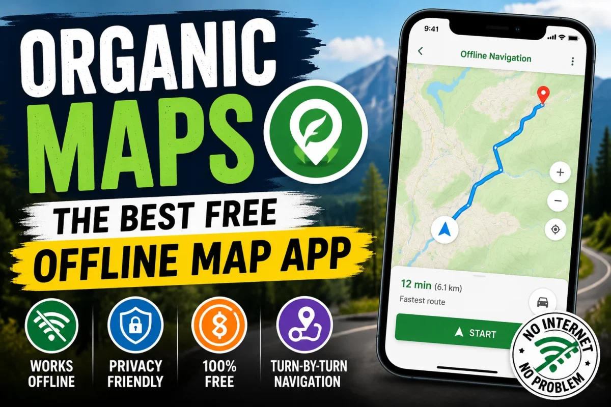
Picture this: you’re driving through Wayanad’s winding roads, or navigating a unfamiliar city abroad, and your mobile data runs out at exactly the wrong moment. Google Maps goes blank. You’re left squinting at road signs, making wrong turns, and wasting time you didn’t have.
This is the situation Organic Maps was built for — and it handles it better than almost anything else available.
Organic Maps is a free, open-source offline navigation app that lets you download entire country or regional maps to your phone and use them without any internet connection whatsoever. No data, no Wi-Fi, no problem. It’s been quietly building a loyal following among travelers, hikers, cyclists, and privacy-conscious users who are tired of being tracked by commercial navigation apps — and for good reason.
Here’s an honest, detailed look at what it does, where it excels, where it falls short, and whether it deserves a place on your phone.
What Is Organic Maps?
Organic Maps is built on OpenStreetMap (OSM) — one of the world’s largest community-driven mapping projects, comparable in coverage to Google Maps for most parts of the world and often more detailed for hiking trails, rural paths, and areas that commercial maps underserve.
The app is available for both Android and iOS, completely free, with no subscription tiers, no premium features locked behind a paywall, and no advertisements anywhere. It’s developed by a small team and funded through voluntary donations — which is also why it has no financial incentive to collect and monetize your data.
That last point matters more than it might seem, and we’ll come back to it.
What Makes Organic Maps Different
Truly Offline — Not “Sort Of” Offline
Google Maps has an offline mode, but it’s limited. You can download a specific area, but real-time features stop working, the interface becomes sluggish, and certain searches fail. It’s offline in the same way that a car is “almost out of petrol” — technically functional, but not reliably so.
Organic Maps is built offline-first. The entire map — search, routing, place details, navigation — works from locally stored data. Once you’ve downloaded a region, nothing requires a network connection. The experience is identical whether you have full 5G or are standing in a valley with zero signal.
For international travel especially, this is transformative. You can download the maps for a country before you board the flight, land with no local SIM yet, and navigate confidently from the airport to your hotel without burning expensive roaming data.
Privacy That’s Genuine, Not Just a Marketing Claim
Most navigation apps are fundamentally data collection products with a map interface attached. Your location history, search history, route preferences, and movement patterns are enormously valuable to advertisers. The “free” navigation you get is paid for by this data.
Organic Maps doesn’t do this. It’s open-source — anyone can inspect the code and verify what it does and doesn’t collect. The app doesn’t track your location history, doesn’t serve targeted advertisements, doesn’t build a profile of your movements, and doesn’t sell data to third parties.
For anyone who’s ever felt uncomfortable knowing that Google knows exactly where they go every day, this is a meaningful alternative.
Speed That Surprises People
Because all data is stored locally, Organic Maps is fast in a way that online-dependent apps can’t match on slow connections. Search results appear instantly. Route calculation takes a second or two. Even on older, lower-spec Android phones, the app runs smoothly without lag or crashes.
This makes a real difference in practice — when you’re driving and need to quickly search for the nearest petrol pump, waiting for a slow internet connection to load results is exactly the moment you don’t want to be waiting.
Key Features in Detail
Turn-by-Turn Navigation
Organic Maps provides voice-guided, turn-by-turn navigation for driving, walking, and cycling — all offline. The voice directions are clear and timely, the route display is clean, and the interface doesn’t clutter your screen with unnecessary information while you’re navigating.
Route recalculation when you make a wrong turn also works offline — the app detects your deviation and recalculates without needing to ping a server.
Hiking and Outdoor Trails
This is where Organic Maps genuinely outperforms most commercial navigation apps. OpenStreetMap’s hiking trail data is remarkably detailed — more so than Google Maps in many areas — and Organic Maps renders it beautifully:
- Hiking and trekking paths
- Mountain trails with difficulty ratings
- Elevation profiles and contour information
- Nature reserves and national parks
- Camping sites and shelters
- Viewpoints and scenic spots
For anyone planning treks in Kerala’s Western Ghats — Wayanad, Munnar, Periyar, Agasthyamalai — Organic Maps has trail data that Google Maps simply doesn’t show. Serious trekkers often use it alongside a dedicated hiking app, but for many routes it’s sufficient on its own.
Offline Place Search
Once you’ve downloaded a map, you can search for places without any internet connection:
- Hotels and guesthouses
- Restaurants and cafes
- Petrol pumps and EV charging stations
- Hospitals and pharmacies
- ATMs and banks
- Tourist attractions and landmarks
- Railway stations and bus stops
- Airports and ferry terminals
The search covers everything in the OpenStreetMap database for your downloaded region. Coverage varies by area — popular tourist destinations and urban areas tend to be very well mapped, while some rural areas may have gaps.
Cycling Routes
Organic Maps has strong cycling support — dedicated cycling paths, bike lanes, and cycling-friendly route options are displayed and can be used for navigation. For cyclists who travel through areas with poor connectivity, this makes it significantly more useful than most alternatives.
Map Updates
Maps are updated regularly from the OpenStreetMap database. You can check for and download updates within the app. New roads, businesses, and trail additions from the OSM community find their way into the app through these updates — though there’s typically a lag between a real-world change being added to OSM and appearing in the downloadable map.
How to Get Started — Step by Step
Step 1: Download the App
Install Organic Maps from the Google Play Store (Android) or Apple App Store (iOS). It’s free, takes under a minute, and the app itself is lightweight — the maps are what take up storage space.
Step 2: Allow Location Permission
Open the app and grant location permission so it can show your current position on the map. This uses your phone’s GPS — not internet location services — so it works offline.
Step 3: Download Your Maps
This is the crucial step. Go to the map download section and select the regions you need:
- By country — download an entire country’s map
- By state or region — download just the area you need (saves storage)
For Kerala specifically, you can download just the Kerala state map — which covers roads, towns, hiking trails, and places of interest across the entire state in a single download.
Before traveling: Download maps for your destination while on Wi-Fi. Don’t leave this for the airport — download in advance so you’re covered the moment you land or enter a low-connectivity area.
Map file sizes vary: a single Indian state is typically 100–400MB, a full country map for a smaller nation might be 50–200MB, while large countries can be several GB. Make sure you have enough phone storage before downloading.
Step 4: Search and Navigate
Type your destination in the search bar. Results appear instantly from the local database. Select your destination and choose your transport mode — driving, walking, or cycling. Start navigation.
That’s it. No account required, no login, no setup beyond downloading the maps.
Organic Maps vs Google Maps vs Apple Maps
| Feature | Organic Maps | Google Maps | Apple Maps |
|---|---|---|---|
| Offline Navigation | Excellent — full functionality | Limited offline mode | Limited offline mode |
| Internet Required | No | Often yes | Often yes |
| Advertisements | None | Yes | None |
| User Tracking | Minimal — verified by open source | Extensive | Moderate |
| Hiking Trails | Excellent | Basic | Basic |
| Real-Time Traffic | No | Yes | Yes |
| Public Transport | Limited | Excellent | Good |
| Open Source | Yes | No | No |
| Cost | Free, no tiers | Free (with ads) | Free |
| Privacy | Excellent | Poor | Moderate |
| Map Updates | Regular | Real-time | Regular |
| Voice Navigation | Yes | Yes | Yes |
The table tells the story clearly: Organic Maps wins on offline capability, privacy, hiking trails, and cost. Google Maps wins on real-time traffic, public transport, and business information freshness. They serve different needs, and many people use both.
Where Organic Maps Falls Short
Honest reviews mention limitations. Here are the genuine ones:
No Real-Time Traffic Information
Organic Maps can’t show you live traffic congestion, accidents, or road closures. If you’re commuting in a city and want to know whether the bypass is jammed right now, Google Maps or Waze is the better tool.
Public Transport Is Limited
Bus routes, metro schedules, and transit information are available in some cities through OpenStreetMap data, but coverage is inconsistent. For navigating urban public transport systems, dedicated transit apps or Google Maps are more reliable.
Business Information Can Be Outdated
A new restaurant or recently closed shop may not appear in Organic Maps until the OpenStreetMap community updates it and the next map update is released. Google Maps, fed by real-time business submissions, tends to be more current for commercial listings.
No Street View
Google Maps’ Street View is genuinely useful for confirming you’re at the right place. Organic Maps has no equivalent.
Community-Dependent Coverage
OpenStreetMap coverage quality depends on volunteer contribution. Major cities and popular destinations are excellently mapped. Very remote areas or places with smaller mapping communities may have gaps.
Practical Use Cases — When to Use Organic Maps
International Travel
Download the destination country’s maps before departure. Navigate from day one without buying a local SIM or paying roaming charges. Search for hotels, restaurants, and attractions offline. This alone saves meaningful money on international trips.
Road Trips Through Rural Areas
Kerala’s rural roads — through Idukki, Wayanad, Kasaragod’s interior — often have patchy mobile coverage. Organic Maps keeps working regardless.
Mountain Trekking and Hiking
The Western Ghats, Himalayas, or any mountain region where mobile signal drops. Organic Maps with trail data downloaded in advance means you’re never navigating blind.
Cycling Tours
Long-distance cycling routes where you’re passing through areas with inconsistent connectivity throughout the day.
Countries With Expensive Data Roaming
European countries, the Middle East, Southeast Asia — where Indian SIMs don’t work and local data is expensive. Download before you go, navigate for free.
Privacy-Conscious Everyday Use
If you’re uncomfortable with Google tracking your daily movements, Organic Maps as a primary navigation app removes that concern.
Storage Management Tips
Downloaded maps use your phone’s storage. Here’s how to manage this smartly:
- Download only what you need — download by state or region rather than entire large countries
- Delete maps you no longer need — after returning from a trip, remove maps you won’t use again
- Use a phone with adequate storage — if you’re a frequent traveler who downloads maps for multiple regions, 64GB+ storage is recommended
- Download on Wi-Fi — map downloads can be large; don’t do this on mobile data
Frequently Asked Questions
Does Organic Maps work without any internet at all?
Yes — completely. Once maps are downloaded, navigation, search, and routing all work with zero internet connection. GPS location uses your phone’s hardware, not the internet.
How often are maps updated?
The app checks for updates regularly. You can manually check and download updates within the app. Updates incorporate the latest OpenStreetMap contributions for your downloaded region.
Can I use it for navigation in Kerala specifically?
Yes. Kerala is well-mapped in OpenStreetMap — major roads, state highways, district roads, and many rural roads are included. Hiking trails in the Western Ghats are also well-represented. Download the Kerala state map and you’re covered.
Does it drain battery faster than Google Maps?
Actually, the opposite tends to be true. Because it doesn’t require constant internet communication, Organic Maps typically uses less battery than online-dependent navigation apps. It does use GPS, which consumes some power — as any navigation app does.
Can I bookmark places for future reference?
Yes. You can add bookmarks and organize them into categories — useful for saving hotels, restaurants, or landmarks before a trip.
Is it safe to use in unfamiliar foreign countries?
Yes. Coverage in most countries is good, especially in urban areas and popular tourist destinations. Download the maps before you travel and you’ll have reliable navigation regardless of local connectivity.
Does the voice navigation work offline?
Yes. Turn-by-turn voice directions work completely offline.
Can I share my location with someone else using the app?
The app doesn’t have a built-in live location sharing feature — for that, you’d need another app. Organic Maps is focused on personal navigation rather than social features.
What languages is the app available in?
Organic Maps is available in multiple languages including English, and map labels can be displayed in local scripts. Malayalam place names display correctly on Kerala maps.
How does it compare to Maps.me?
Both are OpenStreetMap-based offline navigation apps. Organic Maps is widely considered the cleaner, more privacy-respecting, and better-performing option — Maps.me was acquired by commercial interests and introduced advertising and tracking that Organic Maps explicitly avoids.
Tips for Getting the Most Out of Organic Maps
Download maps before you travel, not after you arrive. This sounds obvious but is easy to forget. Add “download Organic Maps map for [destination]” to your pre-trip checklist.
Use it alongside Google Maps, not instead of it. For real-time traffic in your home city, Google Maps is better. For offline navigation while traveling, Organic Maps is better. The two complement each other.
Check the hiking trail data before a trek. Open Organic Maps, zoom into your planned trekking area, and verify the trails are mapped before you head out. For most popular Kerala trekking areas, coverage is good — but it’s worth confirming.
Keep maps updated. Before a major trip, check for map updates to ensure you have the most current data for your destination.
Enable compass mode for walking navigation. The app has a compass/bearing mode that’s useful when walking in unfamiliar areas — it shows your direction of travel in relation to the map.
Final Verdict
Organic Maps earns its reputation. For travelers, hikers, cyclists, and anyone who wants offline navigation that actually works — without tracking, without advertisements, and without cost — it’s one of the best apps available for Android or iOS.
It’s not a replacement for Google Maps in every situation. Real-time traffic, public transport, and up-to-the-minute business listings are areas where Google’s live data infrastructure wins. But for everything offline — navigation in low-connectivity areas, international travel without data, hiking in the mountains, road trips through rural India — Organic Maps is the more reliable choice.
The privacy advantage is a genuine bonus. Knowing that your daily movements aren’t being recorded and monetized is worth something, even if it’s hard to put a precise number on it.
Download it before your next trip. Keep it alongside whatever navigation app you normally use. The moment you’re in an area with no signal and need to find your way, you’ll be glad it’s there.
Available free on Google Play Store and Apple App Store.
Stay connected with SpotNews Kerala for more app reviews, travel guides, government schemes, and useful resources for Kerala readers.